
Chhimi Dema
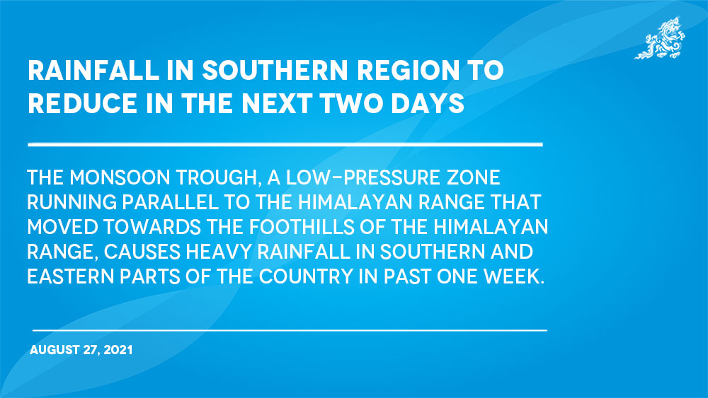
The monsoon trough, a low-pressure zone running parallel to the Himalayan range that moved towards the foothills of the Himalayan range, causes heavy rainfall in southern and eastern parts of the country in past one week.
However, the intensity of the rainfall in some parts of the country is likely to reduce on August 28 and it is expected that the low-pressure zone would be in the normal position from August 27, according to the National Center for Hydrology and Meteorology (NCHM).
An official from NCHM said that the monsoon trough normally does not lie close to Nepal or Bhutan but in the tropical zone. “This week’s incidence of rainfall occurred because that belt was lying closer to the foothills of the Himalayas.”
Records with NCHM shows that compared to recent times one of the highest rainfalls was recorded on August 25 in Gelephu with 245 millimetres (mm). Similarly, places like Dewangthang and Samtse also recorded heavy rainfall.
One millimetre of rainfall is equivalent to one litre of water per square metre.
Monsoon in Bhutan begins from June and lasts until September.
“The country receives more than 70 percent of the total annual rainfall during these four months,” the official said.
Monsoon occurs with the southeast winds blowing from the Bay of Bengal.
The wind first hits the southern parts of the country and owning to plains in the southern parts, heavy rainfall occur in those places.
As the wind moves towards the northern parts of the country, the wind moisture content decreases giving lesser rainfall in the central and northern parts of the country.
The country is experiencing an active monsoon phase so the southern region is experiencing heavy rainfall, an NCHM official said.
Active phase which is an event of heavy rainfall. Break phase is an event of no rain.
NCHM on its Facebook on August 25 alerted that flash floods, landslides, and riverine floods are very likely over the southern and isolated places of the eastern parts of the country within 48 hours.