
Thinley Namgay
National Land Commission (NLC) Secretariat launched ‘DRUK CORSNet’ on July 2 in Thimphu.
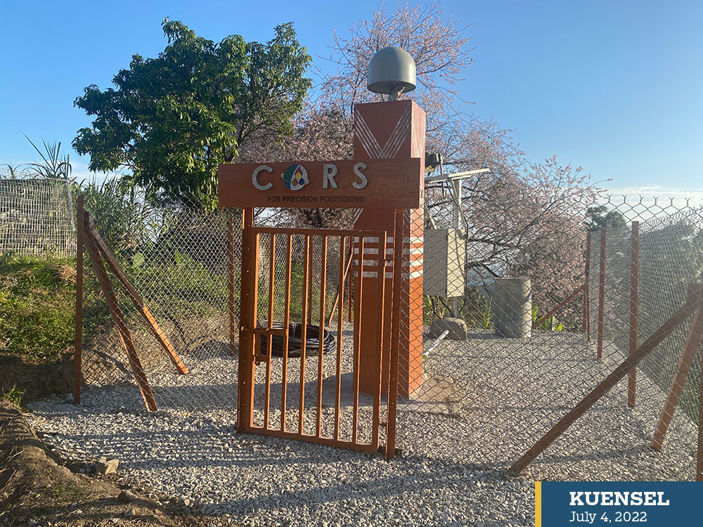
DRUK CORSNet is a network of automated ground stations with a command centre in Thimphu that tracks Global Navigation Satellites (GNS) and transmits real-time correction signals to users all the time.
A CORS network can provide both static as well as real-time kinematic correction signals. The facility can be applied in diverse fields in cadastral, topographical, engineering, geophysical, mining, resource mapping, geodynamics and academic research.
Today, there are nine DRUK CORSNet stations in Thimphu, Phuentsholing, Gelephu, Dewathang, Kanglung, Lhuentse, Bumthang, Wangduephodrang and Dagana. CORS focal persons are appointed for all stations. NLC had trained all the surveyors of 20 dzongkhags.
NLC has plans to institute new stations in Haa, Samtse, Zhemgang and Gasa in the next financial year to achieve nationwide coverage.
Professor Rui Fernandes and his team from MIRASpaco, Portugal helped NLC to build DRUK CORSNet.
CORSNet was implemented a year ago. However, NLC has been studying its efficiency so far. Officials said that CORSNet presents tremendous efficiency gains compared with other modes of surveying.
Today, 200 users from the government, corporate and private sectors have subscribed to the network.
NLC’s Secretary, Dasho Pema Chewang said the DRUK CORSNet is a vital infrastructure that serves as a carrier of national geodetic datum.
“While we may not have noticed with our senses, geodesists inform that Bhutan has been drifting on the Eurasian tectonic plate at a rate of nearly five centimetres per annum in the north-easterly direction,” he said.
Dasho Pema Chewang said 2004 was a significant year in the history of surveying in Bhutan as it was the year where NLC could define a national geodetic datum called DRUKREF03 replacing the Everest datum used in the Indian sub-continent and the neighbouring countries. “It was also the year when the first CORS station was constructed in Thimphu.”
“As part of our strategic plan to remain relevant and be at the forefront, we’ll work towards upgrading DRUK CORSNet into a Virtual Reference System to avoid greater redundancy and quality control in positioning services,” he said.
During National Cadastral Resurvey Programme between 2008 and 2013, the NLC placed around 27,000 control monuments, which were imported from Europe.
NLC coordinated these control monuments with Global Navigation Satellite System (GNSS) technology and held them in high regard as ‘a state-of-the-art control infrastructure. However, with the commissioning of DRUK CORSNet, this once well-regarded infrastructure became redundant.
Head of Geodesy at NLC, Bijay Pradhan said that any surveyor could now directly go to the field and survey using the correction through a mobile network, which is much more reliable and efficient.
“Before the introduction of CORSNet, every survey required geodetic control points which are expensive and tedious to establish and observe those control points,” Bijay Pradhan said.
NLC spent at least Nu 1.2 million to build one CORSNet station. One station can cover a distance of 40km.
Director of Survey and Mapping at NLC, Tenzin Namgay said that for efficient CORSNet services, all stations would be equipped with power and internet redundancies to minimise service outages.
“People can subscribe and connect. NLC give them users credentials and they can connect to Druk CORSNet. Once they are connected, they will get all the correction signals,” Tenzin Namgay said.
Users can visit https://www.nlcs.gov.bt/?page_id=22 for a subscription and to download a relevant manual of practice in using DRUK CORSNet enabled real-time kinematic surveying.