
Chhimi Dema
With evolving technology, it is not just rangers monitoring and aiding in the conservation of wildlife but also unmanned aerial vehicles or drones.
Bhutan used drones since 2015 for wildlife search and rescue, survey, and forest pest and disease management.
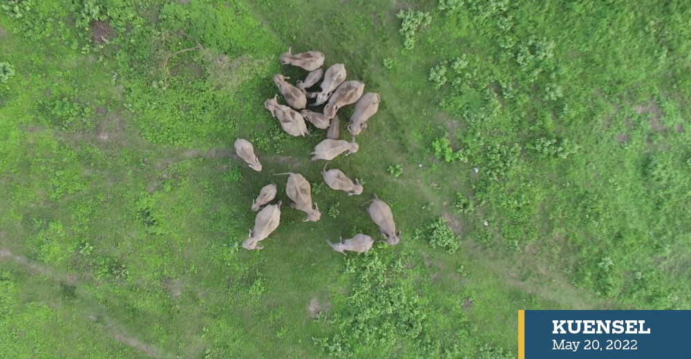
An official from the Nature Conservation Division said that drones were used as early as 2015 when it was first deployed for telemetry study of understanding elephants’ seasonal movement.
The division, leading conversation efforts in Bhutan, has been using drones for post-fire management, monitoring wildlife population, tracking wildlife during the human-wildlife conflict, and for security and surveillance.
The official said that during wildlife rescue, it is difficult and risky to immediately approach the injured wild animal. “Drones can be deployed to study the condition and status of the trapped wild animal and accordingly rescue operations can be initiated.”
The use of drones is expected to reduce the strain on the shortage of human resources and keep rangers safe while on duty.
World Wildlife Fund (WWF) survey of rangers shows that about 85 percent of rangers believe that their job is dangerous due to the chance of encountering poachers and wildlife.
The survey also highlighted the lack of basic necessities such as safe drinking water, medical treatment, mosquito net, and toilet, while patrolling or in their outpost.
According to another report by WWF, the planet’s wildlife population has dropped by 68 percent since 1970, with threats including things like poaching and loss of habitat.
The official said that using drones aid in biodiversity, vegetation and wildlife conservation by giving an aerial view of the ground situation.
Drones are also beneficially in wildlife habitat management and survey, patrolling, mapping areas for plantation, and disaster management, mitigating human-wildlife conflict, the official said.
For example, thermal drones are deployed to find out the location of elephants hiding under thickets of bushes and help the community chase them.
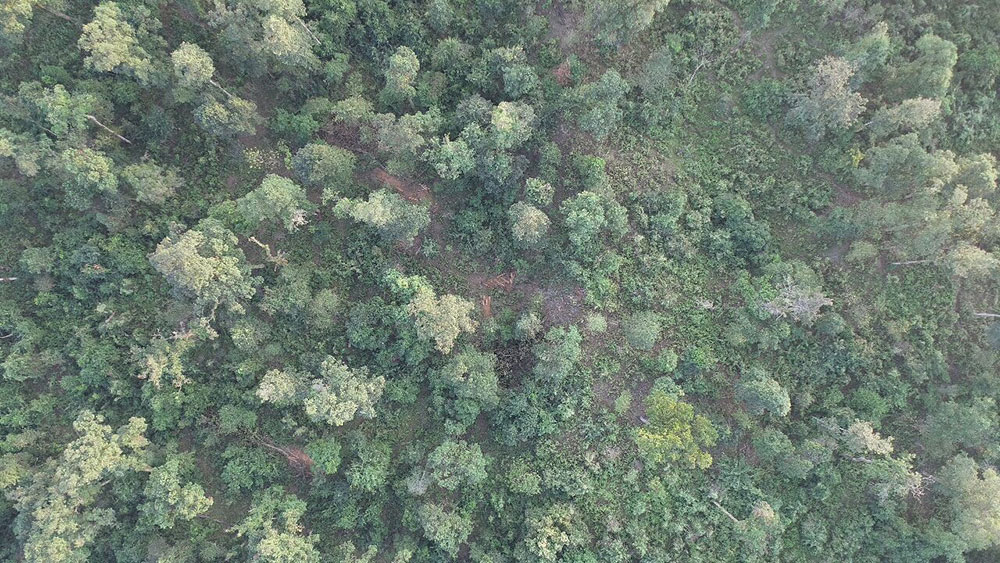
The division also uses drones to monitor forest resources. The official said: “Drones can be deployed to study the extent of forest resources, including trees, sand and boulders so that informed decision can be made whether or not to allow extraction.”