
YK Poudel
In an attempt to harness geospatial information systems for agricultural monitoring and farming system officials from various organisations attended a five-day training that ended on May 26.
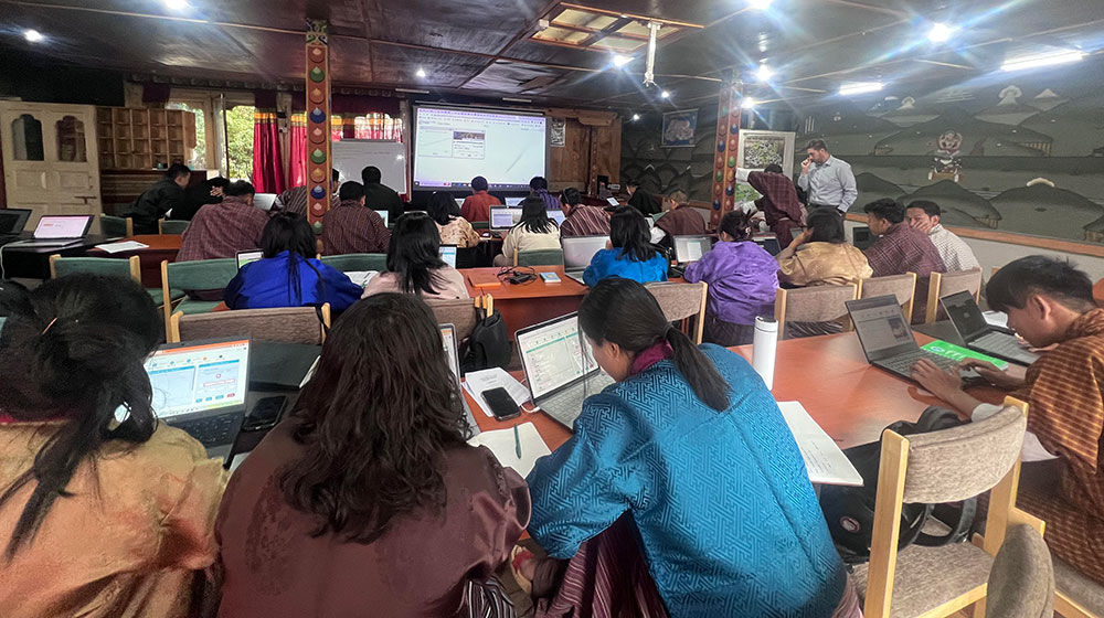
Some 35 officials from government agencies, institutes and other organizations – involved in agriculture and environmental management – attended the training on “Remote Sensing for Rice Monitoring and Agro-Ecological Zone Mapping” at the Centre for Climate and Sustainable Futures in Paro.
The training focused on bridging the information gap in farming systems and enhancing data-driven planning and investments in the agricultural sector.
Senior Information Analyst, BES, Pema Eden said that the participants were trained on earth observation data applications, machine learning, geospatial data analysis, and rice area mapping, “with specific emphasis on bolstering agricultural planning and mitigation efforts through the utilization of a co-developed geospatial application.”
She said: “The agro-ecological zones (AEZ) in Bhutan are based on elevation data that requires other climatic variables and geographic data for comprehensive AEZ mapping. This enhanced update along with Food and Agriculture Organization will help in making plans and policies efficient for farmers.”
Ugyen Dorji, a participant and Lecturer of the College of Natural Resources said that the training enhanced their geospatial capacity and provided a platform for SERVIR to engage with stakeholders in Bhutan, “enabling them to gain insights into their geospatial technology needs.”
“This training had a practical session on satellite capturing and analyzing rice cultivation through its altitude, soil, rainfall, humidity and temperature data – that will play a pivotal role in guiding the future development of services, including the enhancement of the ACES system, which will further enhance agricultural planning and decision-making processes in the country,” he said.
Rice analysis and agro-ecological zone mapping, he said, will allow the agricultural sector in Bhutan to proper zoning and enhance the production scale in the country.
“By embracing technology and data-driven approaches, Bhutan exemplifies its unwavering commitment to preserving nature, biodiversity, and ecosystem services while simultaneously fostering the growth of the agricultural sector,” the press release stated.
Experts and resource persons from the NASA-SERVIR project facilitated the training.
Hindu Kush Himalaya Regional Science Lead, NASA-SERVIR, Timothy J Mayer said,
“This summer, six Bhutanese scholars studying in the US will work as a part of the NASA DEVELOP programme to continue efforts and apply their knowledge in Bhutan.”
The press release stated that the completion of this training marks a significant milestone in Bhutan’s journey towards harnessing remote sensing and geospatial data for sustainable agriculture, improved food security, and informed decision-making.
Bhutan Ecological Society (BES) in collaboration with the Department of Agriculture conducted the training with funding support from the Food and Agriculture Organization.
SERVIR launched in 2014 in Bhutan has been collaborating with Bhutan’s Department of Agriculture (DoA), National Plant Protection Centre (NPPC), and Ugyen Wangchuck Institute for Conservation and Environment Research (UWICER) to co-develop the geospatial application, which primarily focuses on rice area monitoring.
SERVIR is a joint initiative of the United States Agency for International Development (USAID) and the National Aeronautics and Space Administration (NASA). It is dedicated to harnessing Earth observation and geospatial technologies to address critical challenges faced by developing countries.