Yangyel Lhaden
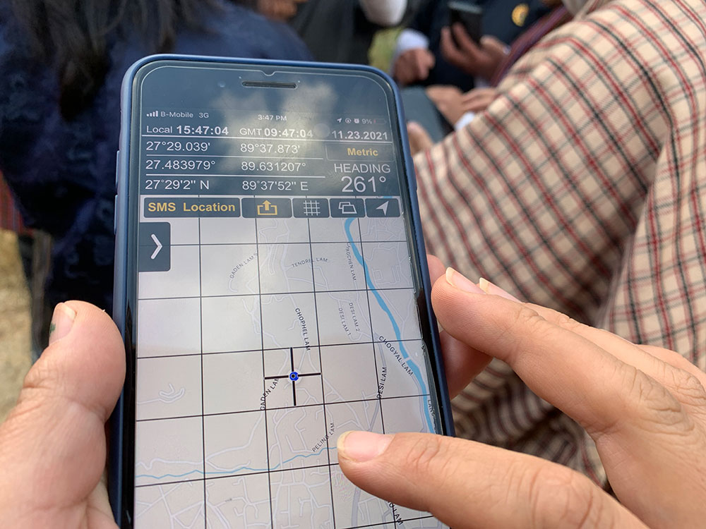
Group A goes to the road above the office of the Department of Civil Registration and Census and generates geographic coordinates of the place with a Global Positioning System (GPS) application on a smartphone. Group B near Sangaygang has to find where Group A is, using the geocoordinates.
Upon receiving the geographic coordinates, Group B finds the place by entering the geographic coordinate on Google Earth and traces navigation details through Google Maps. Group A is found within 15 minutes.
A geographic coordinate system is a system that uses a three-dimensional spherical surface to determine locations on the Earth, referenced by a point with longitude and latitude coordinates. The system is appropriate for global data sets and applications, such as satellite imagery repositories.
A group of five volunteers who call themselves Druk GPS is conducting awareness programme on how to use free mobile applications that can be used to trace a location.

Participants generate geo-coordinates
Ugyen Dorji, the group’s founder, conducted research on the GPS coordinate system for three months and came up with a simplified method to use free applications. He got the idea when he learnt that the government’ rescue operation spent a huge amount of money to locate Bhutanese women in the Middle East last year.
Had the Bhutanese women working in the Middle East known how to send geographic coordinates, rescue could have been easier, argues Ugyen Dorji. “In this technology-driven age, although we use smartphones, we don’t know how to use them intelligently.”
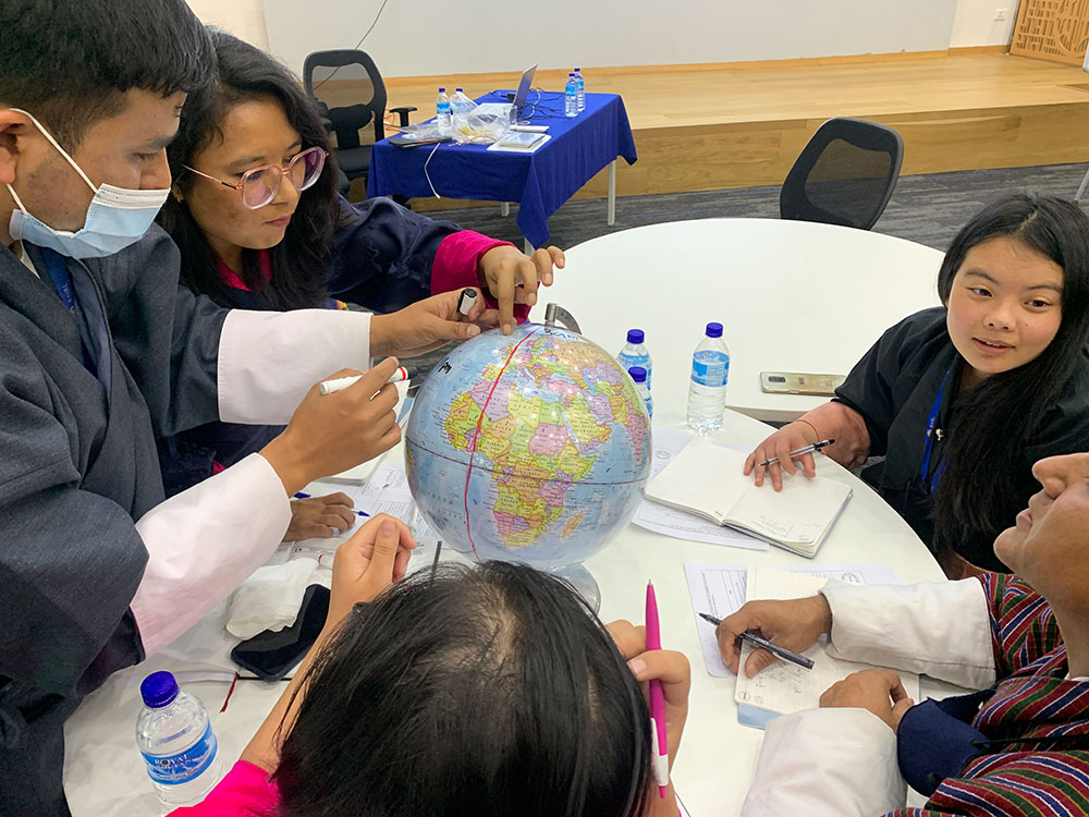
Hours before, at the Bhutan National Bank (BNB) conference hall, Druk GPS conducted an awareness session. It was a Geography class all over again for the bank employees. Ugyen began by showing longitude and latitude on a globe.
Participants had to draw a line on the globe where the prime meridian, a geographical reference line that passes through the Royal Observatory, Greenwich, in London, England and mark each longitude. Ugyen says that to the west of prime meridian time is behind, and to the east, ahead. This, to many participants, was new knowledge.
The first exercise that followed was time calculation from Greenwich east and west.
A participant whispered: “Why weren’t we taught time calculation like this in school?” Another, in agreement, blamed the system and teachers.
Ugyen explained that since there is time in the formula of distance, it is important to know time calculations to understand how geo-coordinates are formed or created.
Participants learned to generate both geocoordinates in degree, minute, second, and decimal with time calculation knowledge. They also learned how to convert it from one to the other.
Jamyang Zeopa, a participant, said this life-saving skill ought to be taught in schools. BNB Real Estate Officer Ugyen Tenzin said that learning the basics was important, which made using the application much easier.
Sonam Tobgay, co-founder of Druk GPS, said that in times of danger or when one is lost, finding the location of a place, one could generate the GPS location and send it to authorities concerned. “This basic skill can save resources and provide timely intervention.”
Druk GPS has trained 724 individuals so far, including officials from RENEW, RBP, T-Bank, tour companies, de-suung, and the PMO
Towards the end of the one-day training, an excited participant said she would henceforth generate geocoordinates to give directions. “I am sick of using landmarks to describe where my house is, which is often very confusing.”
Edited by Jigme Wangchuk


