
Jigmi Wangdi
Bhutan has come a long way in the development of topographic maps. From surveying landscapes manually, over time, the process has evolved.
Then, aerial photography was employed as a method, followed by remote sensing. Today, Bhutan uses drones and LiDAR technology.
LiDAR, Light Detection and Ranging, employs light energy and lasers to scan and measure a target.
Drones offer a more efficient alternative to traditional methods, as they require less time and can effectively survey specific landscapes. However, when it comes to covering larger surface areas during surveys, satellite images become necessary.
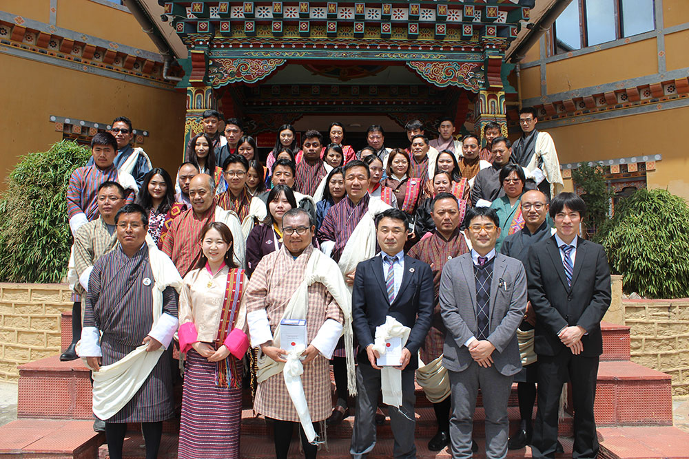
Now, as a part of the milestone project on the Development of a Digital Topographic Map, satellite image datasets will be officially delivered to the National Land Commission Secretariat (NLCS) by the Government of Japan.
Facilitated by the JICA Office in Bhutan, the collaborative effort aims to develop high-precision digital topographic maps covering the north-central interior region and major urban areas of Bhutan.
These maps, with scales of 1/25,000 and 1/5,000, will provide essential geospatial information with precise coordinate data, serving as a basis for decision-making across various sectors including agriculture, water resource management, and land management.
Director of the Department of Survey and Mapping under NLCS, Samten Dhendup, said that the topographical maps generated from the satellite images have multiple applications.
“While planning any developmental activities, like constructing a road, we would not know where to begin making it. But when you have a digital topographic map, we can make a digital terrain model or a 3D image, and we can view the image on any electrical device,” he said.
He added that the road layout could be designed using the 3D image, completing 80 percent of the work with accuracy. “We can go to the field and survey the remaining 20 percent.”
The topographical map can also give the accurate latitude, longitude, height and a 3D model of the surface, which is vital for planning development activities, Samten Dhendup shared.
He said that the objective of the project is to enhance policy-planning and decision-making processes.
“When we have a tangible model to view, we can carry out better planning. If we are in Thimphu and make plans in Tashigang, it would just be imaginary and, even if we go, we cannot cover every area. That’s where the topographical maps will be efficient,” Samten Dhendup said.
Topographical map and its applications, Samten Dhendup said, were indirectly related to delivering public services. “This is because our government’s policies will depend on proper planning. Once the government has proper planning, the services will be facilitated accordingly, and this project can do that.”
However, the topographical map provided by the satellite image will not be able to provide real-time information on imminent disasters such as floods or landslides.
Samten Dhendup said that the technology to provide the information would require a continuous supply of satellite images. “The process to get these continuous images is very cost-intensive.”
Subscription to receive continuous images costs approximately USD 300,000 annually.
Samten Dhendup said that they were trying to analyse the needs of all the agencies that use such data and channel the procurement through one entity.
The Project for the Development of a Digital Topographic Map reflects Bhutan’s commitment to leveraging technology and partnerships for sustainable development and resilience-building in the face of environmental challenges.