
YK Poudel
More than 35 government agencies in the country currently employ Geo-spatial Information (GI) independently, leading to data duplication and the wastage of time and resources.
The good news is that this issue is expected to be resolved with the implementation of the National Spatial Data Infrastructure (NSDI) and GI, slated for completion by 2025.
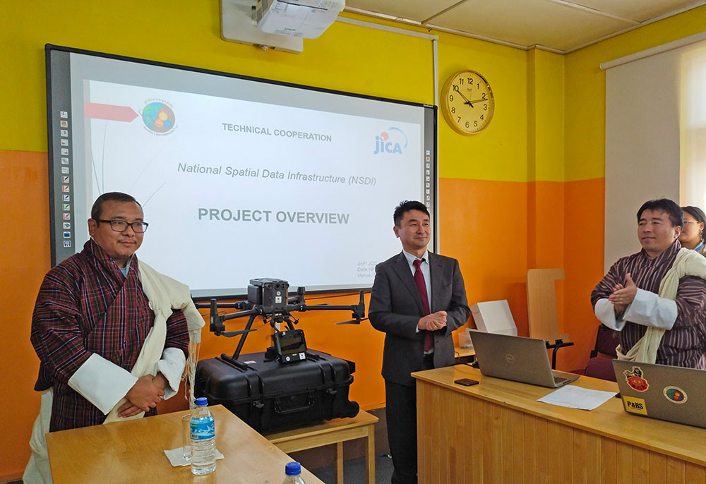
During the third Joint Co-ordination Committee meeting, attended by 23 officials from the Japan International Cooperation Agency (JICA) and the Bhutanese government, the National Land Commission Secretariat (NLCS), as the lead agency, received additional NSDI equipment from JICA Bhutan.
The equipment, which included a DJI Phantom Drone and a DJI Matrice 300 RTK Drone, will be used for the creation and updating of larger-scale maps.
This initiative is part of the “The project for the promotion of utilisation of Geospatial Information through the development of NSDI Kingdom of Bhutan” technical co-operation project, which began in 2021 and is scheduled to conclude in 2025.
Under the auspices of the GovTech agency, the reliable and precise geospatial information generated through this NSDI and GI enhancement project will be shared with relevant government agencies.
This data will have broad applications, such as improving land and resource management, disaster management, environmental analysis, and supporting sustainable development and public services across various sectors.
Thinley Namgyel, the Secretary for the Ministry of Agriculture and Livestock, emphasised the critical importance of geospatial data and services for evidence-based decision-making.
He noted that accurate and authentic data has been a long-standing issue in Bhutan and that projects like this will assist the government in implementing its 13th five-year plans.
The uncoordinated efforts of different agencies with their individual geospatial data have reportedly hampered report preparation and policy-making, resulting in duplication and overlap of government initiatives.
Upon the completion of the project, the data is expected to aid in National Land Use Zoning to resolve land use conflicts.
According to an NLCS report, “over 436,560.588 acres of land in the country are under conflict due to poor planning and lack of consultation among agencies.”
Tomoyuki Yamada, chief representative of JICA Bhutan Office, highlighted JICA’s support for the Bhutanese government in developing and utilizing highly reliable and accurate geospatial information.
He emphasised the increasing importance of digital and reliable digital maps and geospatial information for both government and business purposes.
The use of digital maps developed through this project, he said, is expected to advance infrastructure development and contribute to regional and industrial growth.
The project aims to enhance capacity for operation planning and implementation, as well as the proper management and utilisation of digital topographic maps, according to a press release from NLCS.
Samdrup Dorji, chief of Geo-Informatics Division at NLCS, identified data issues, institutional issues, technical and human resource challenges as some of the pressing concerns.
The lack of reliable geospatial information, insufficient cooperation among agencies, limited ICT expertise within the country, and a shortage of human resources, he said, have all contributed to these challenges.
The project has reportedly achieved approximately 60 percent of its output goals to promote and utilise geospatial information.
Samdrup Dorji emphasised that the NSDI project is a national-level strategy based on the government’s GI and ICT policy. The goal is to make spatial data seamlessly available across a wide range of sectors and for the benefit of the nation.
Geospatial information has diverse applications, serving sectors such as disaster management, urban planning, natural resource and forest management, defense and military, telecommunications, and business analysis, among others.
As part of the project, 1:5,000 and 1:25,000 Kilometres of digital topographical maps and Geographic Information System (GIS) are being developed throughout the country.
The JICA has assisted Bhutan with technical aspects related to topographical base mapping in eight southern districts from 2015 to 2017 under the “Development of National Geospatial Data in Bhutan” project.