
Sherab Lhamo
A four-day Applied Remote Sensing Training Program (ARSET) was conducted by NASA in Bhutan to enhance capacity, improve land use planning, and bolster disaster monitoring efforts.
Associate Analyst at the InnoTech Department of DHI, Manish Rai, highlighted that the training focused on capacity building and learning about Google Earth Engine, as well as advanced machine learning algorithms.
These skills are crucial for leveraging in-country satellite data effectively.
An official from DHI stated that the training covered methodologies for generating land, water, and disaster-related products from satellite data. It also taught participants how to utilize existing products to assess land use change, manage natural resources, and understand climate change impacts.
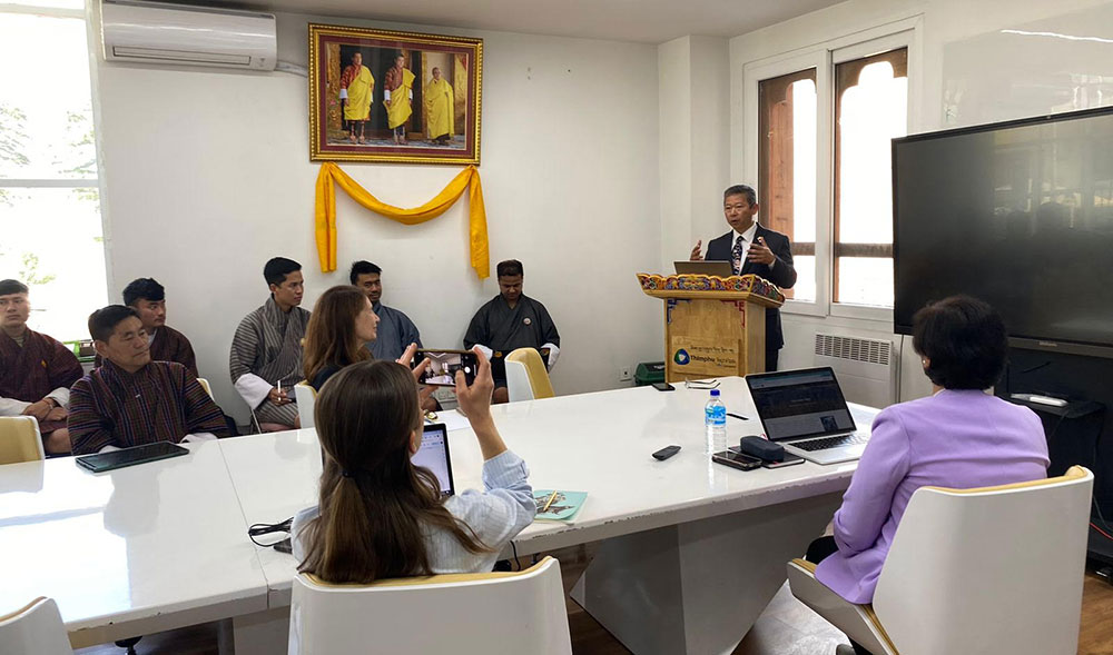
Tony Kim, the project manager at NASA, stated that the United States Department of State funded NASA with USD 1.5 million to visit Bhutan and build capacity in Science, Technology, Engineering, and Mathematics (STEM).
The funds from the US Department of State were allocated to various projects, including USD 500,000 for the SERVIR, DEVELOP, and GLOBE projects, and USD 50,000 specifically for the ARSET training in Bhutan.
Tony Kim mentioned that NASA’s project commenced in October 2019 and is scheduled to continue until September 2024.
The ARSET training was conducted over four days, from May 13 to May 16, 2024.
During the training, participants were instructed on how to utilize Google Earth Engine to access freely available data from satellites such as LANDSAT, MODIS, and Sentinel.
Sangay Pelzang from GovTech emphasised the advantage of using Google Earth Engine coupled with programming skills, noting that government agencies often rely on standalone software with limited features.
He highlighted that the training focused on leveraging existing data to meet specific needs, enabling organizations to improve their processes.
Officials from various agencies, including GovTech Agency, National Land Commission Secretariat, Ministry of Infrastructure and Transport, College of Science and Technology, Ministry of Energy and Natural Resources, and DHI, attended the four-day programme.
Manish Rai said that organisations were selected based on their ongoing work and potential for utilizing remote sensing technology in their respective fields.
The training, held at the Jigme Namgyel Wangchuck Super Fab Lab, saw the participation of over 50 attendees.