
YK Poudel and Kuenlek Tshomo Tshering (Intern)
Inconsistent data collection methods used by different agencies, along with limited data for dzongkhags and gewogs, are hindering agricultural development in Bhutan.
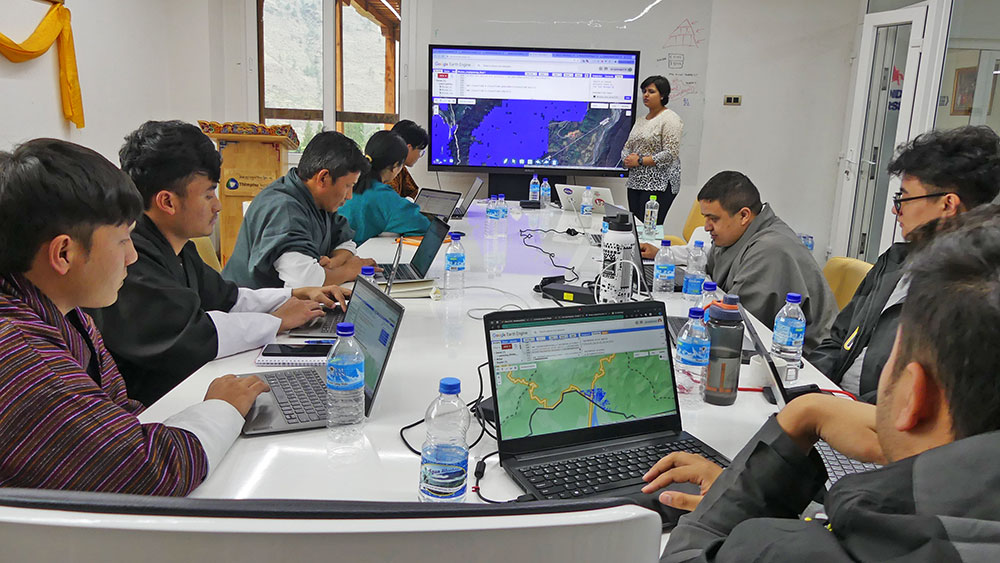
With the launch of “Farm Action Toolkit” on May 17, Bhutan aims to improve food security through earth observation; the use of Google Earth Engine (GEE), machine learning, and artificial intelligence.
About 50 participants from National Land Commission Secretariat (NLCS), Department of Agriculture (DoA), Druk Holding and Investments (DHI), National Statistics Bureau (NSB), and GovTech Agency took part in the training that ended yesterday.
Facilitated by experts and resource persons from the National Aeronautics and Space Administration (NASA)-SERVIR project, the training was a continuation of a similar training conducted last year.
Surveyor at National Land Commission Secretariat (NLCS), Tika Chhetri, said that having this system in place would help in the taxation system. He added that so far, information is based on the data with the local government members making it difficult in monitoring and evaluation process.
“This system in NLCS would help in crop suitability mapping and analysis. Crop land can be extended across the country for better evaluation of the crops grown and production in a year,” he said.
Agriculture officer with National Centre for Organic Agriculture (NCOA), Passang Wangmo, said that this system with practical training would enable the NCOA map and study the area under agricultural land and crop production.
“I attended similar training the previous year. Agriculture ministry will have better results with this system in place,” she said. “The remote sensing system using Google Earth Engine is helpful in studying climate variation in Bhutan and to plan cropping patterns accordingly.”
The government, she said, should continue this system and invest in capacity building of the relevant officials. “Cost-cutting benefits can be achieved through this system.”
Similarly, agriculture officer from national statistics bureau, Tenzin Jamtsho, said that the in-person survey was conducted through a recall method which does not give the exact figure which creates data collection gaps.
“Bhutan should invest in technical capacity building of the officials in the country to address the gaps and have authentic data of crop area and yield on time,” he said.
Rice analysis and agro-ecological zone mapping, he said, would allow the agricultural sector in Bhutan to proper zoning and enhance the production scale in the country.
Agriculture and food security thematic lead and scientist at NASA SERVIR Global, Aparna R. Phalke (PhD), said that the training was aimed at helping advance Bhutan’s progress towards its national strategic goal of rice self-sufficiency by enhancing access to consistent, timely, and accurate information and technology on cropland extent and rice area, and production.
“Participants were taught how to use Google Earth Engine to obtain freely available data through LANDSAT, Moderate Resolution Imaging Spectroradiometer (MODIS), Sentinel satellites,” she said.
Farm action toolkit
The toolkit provides replicable, semi-automated tools and data products by integrating large-scale NASA earth observation time-series data with advanced machine learning and agro-ecological understandings.
Service outcomes include data between 2002 and 2023 of field-scale crop and non-crop mapping, rice, and maize area extent maps, as well as consistent rice yield estimations at national, dzongkhag and gewog level.
It was developed involving SERVIR and several agencies in Bhutan.
The toolkit accessible online provides 30 metre scale cropland, paddy and maize area and can also estimate annual paddy yield at gewog, dzongkhag, and national levels. The toolkit has feasibility to study other crops, fruits and vegetables as well.
This eases the real-time work of the relevant agencies. With the help of baseline data and GEE study, the study can be done online.
Additionally, the system helps in areas such as cost saving in survey, area correction after survey, hotspot analysis, policy formulation, food security assessment, and rapid quantification of food-self-sufficiency.
This service also incorporates satellite databases on weather, biological, and topographical inputs into area and yield models. Study of changes in paddy areas and yield before and after specific events in history, such as past natural disasters, floods, and wildlife intrusions is possible.
SERVIR in Bhutan
The SERVIR, which was initiated in Bhutan as a five-year project, has invested USD 1.5 million in various sectors to produce collaborative, inclusive and locally-led projects.
SERVIR programme, launched in August 2020, has been collaborating with various agencies to co-develop the geospatial application, which primarily focuses on rice area monitoring.
However, the absence of a bilateral relationship between Bhutan and the US will end this collaboration after the project term ends in 2024 unless the government of Bhutan proposes for project continuation.
SERVIR is a joint initiative of the United States Agency for International Development (USAID) and the NASA.
The training was a part of a co-development initiative between NASA-SERVIR, the US State Department, and partner agencies in Bhutan.